
Keywords
hydrographic survey error
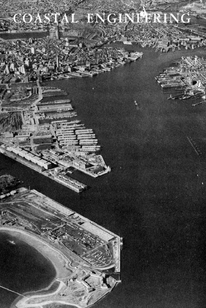
Mission Beach
California
surf zone surveys
Mission Beach
California
surf zone surveys
How to Cite
Saville, Jr., T., & Caldwell, J. M. (1952). ACCURACY OF HYDROGRAPHIC SURVEYING IN AND NEAR THE SURF ZONE. Coastal Engineering Proceedings, 1(3), 3. https://doi.org/10.9753/icce.v3.3
Abstract
The analysis and solution of most beach erosion problems are based to a significant degree on the quantitative changes in the bottom hydrography as observed in successive surveys. Critical decisions as to the dominant direction of littoral drift, the average rate of this drift, and the onshore-offshore movement of material are based largely on such hydrographic surveys. As the net changes between successive surveys are usually small compared to the area being studied, the degree of accuracy or comparability of the hydrographic surveys is of considerable importance. For instance, a net change of 100,000 cubic yards over one square mile of beach represents an average change in depth of only about 0.1 feet. Thus, it can be seen that uncompensated errors in depth measurement of as little as 0.1 feet can produce indications of significant littoral sand movement which might not exist in reality.
Authors retain copyright and grant the Proceedings right of first publication with the work simultaneously licensed under a Creative Commons Attribution License that allows others to share the work with an acknowledgement of the work's authorship and initial publication in this Proceedings.